Anson Wigner
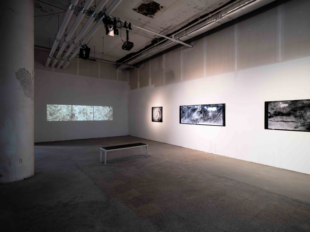
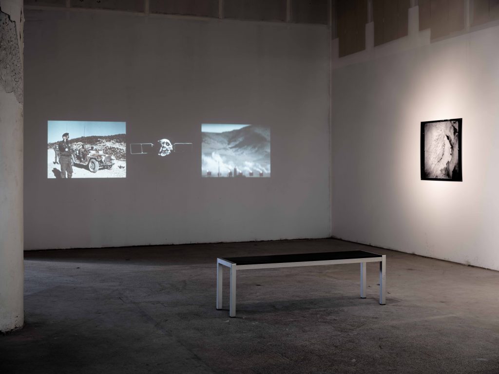
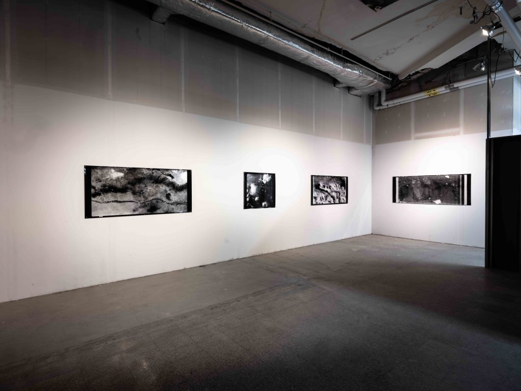
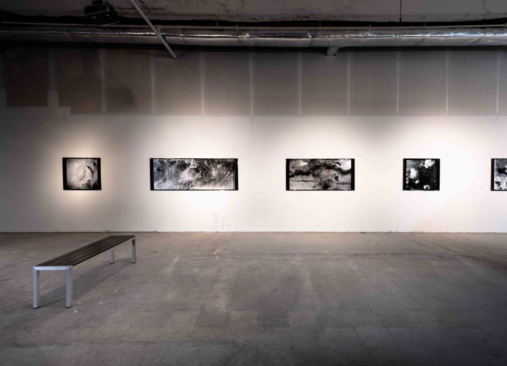
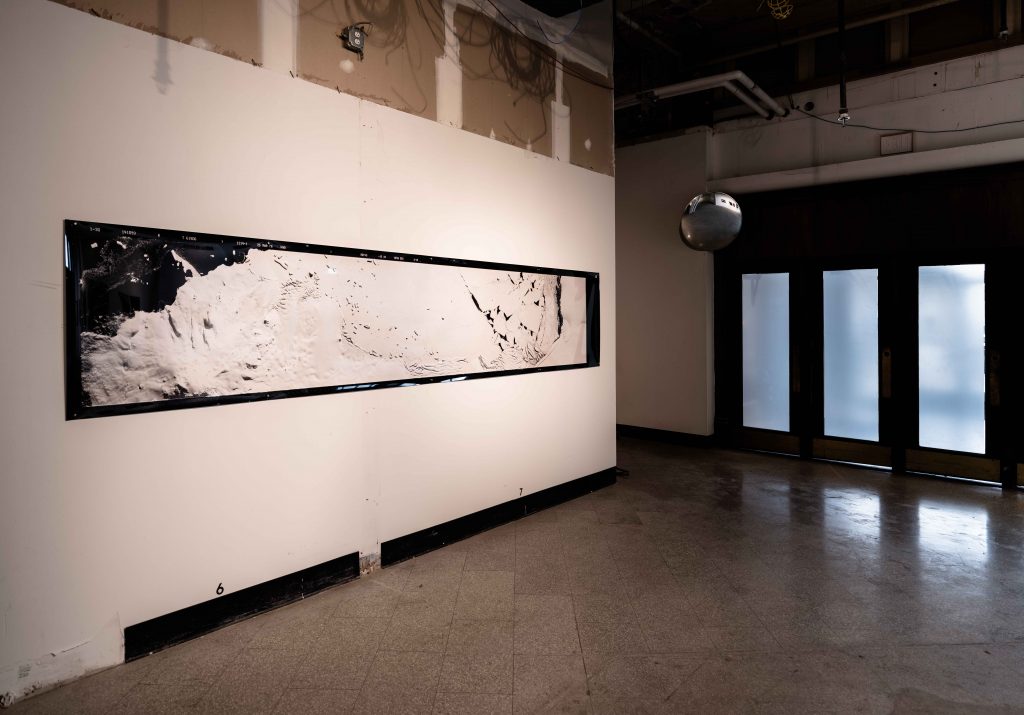
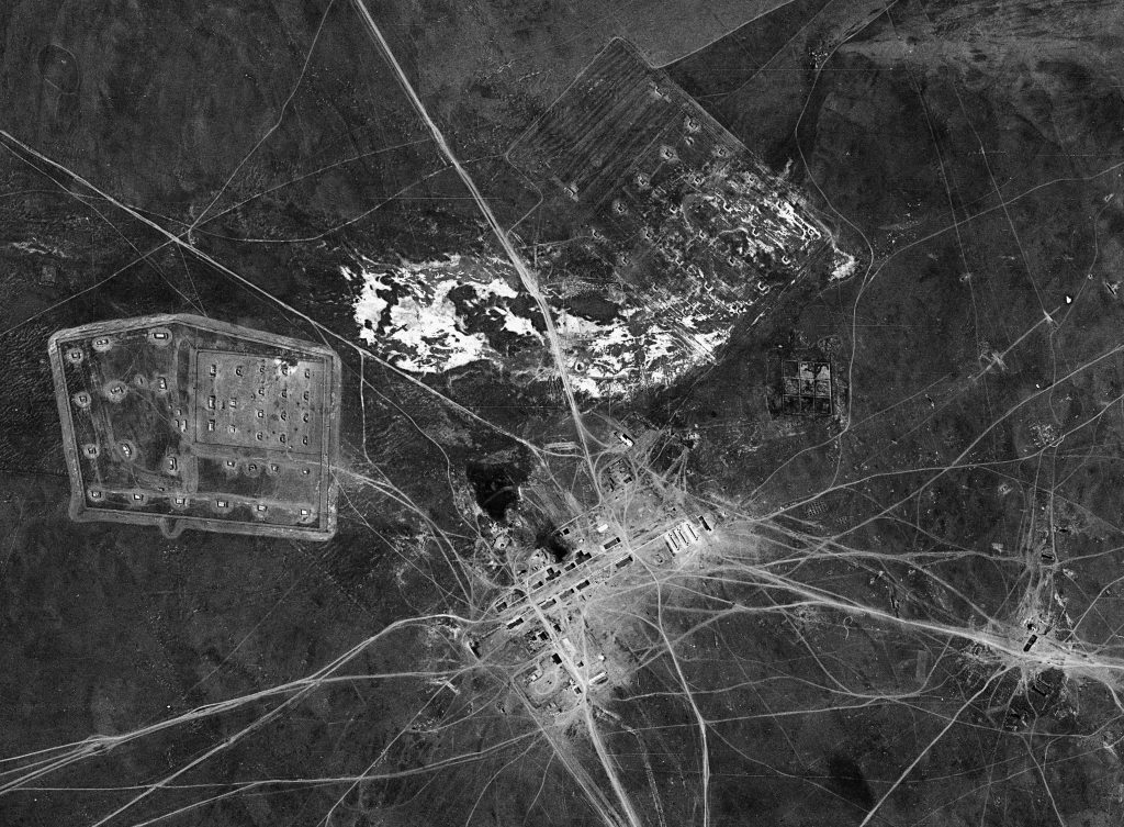
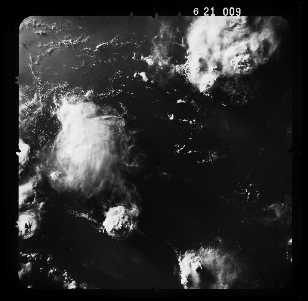
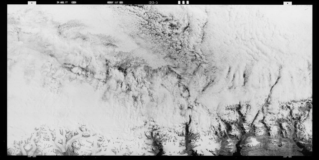
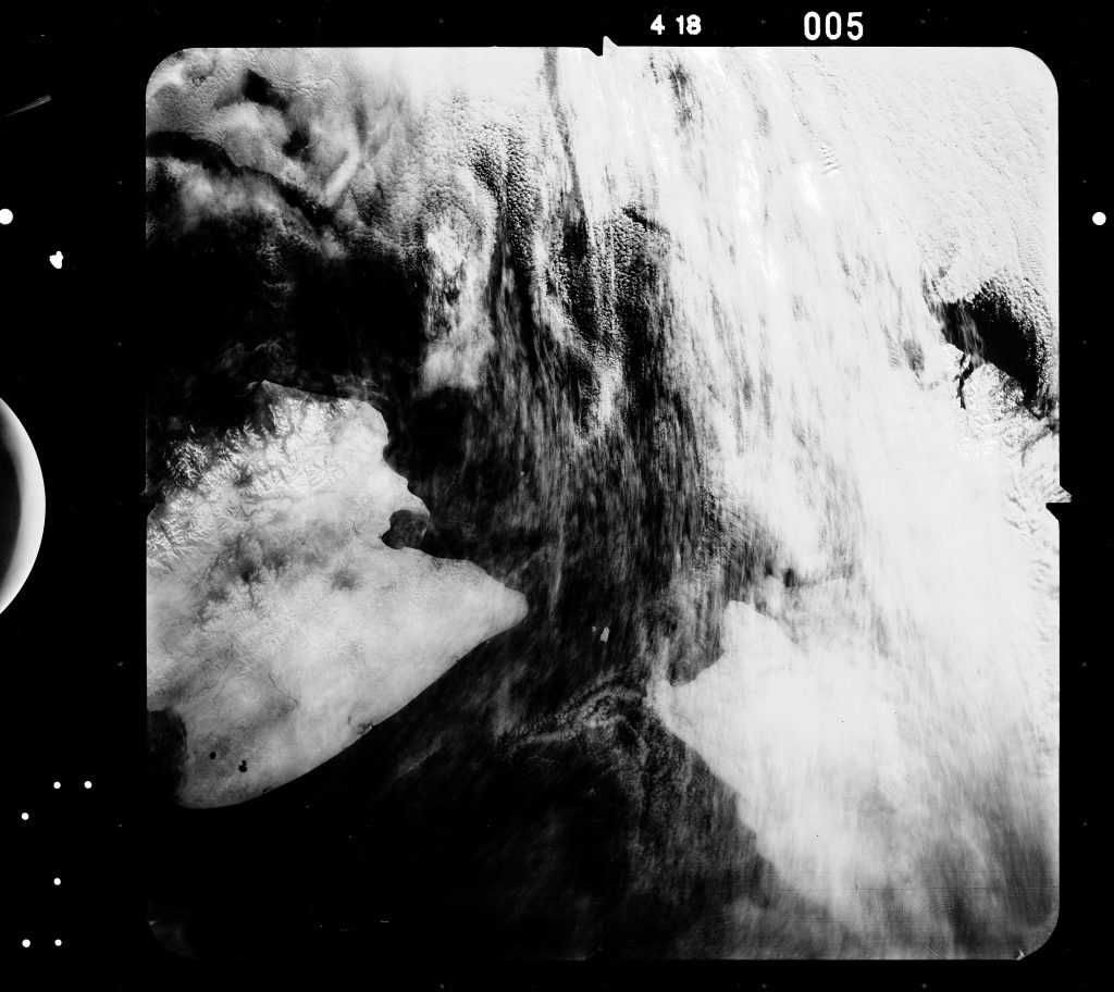
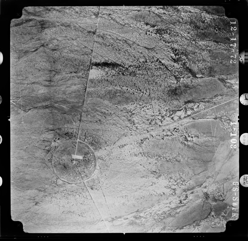
Just as clouds obscure the view from a covert satellite, clandestine surveillance generates a type of vision that obscures the humanity it seeks to document. In Satellite Vision and Atomic Trails, I display declassified surveillance photographs taken covertly by US government satellites between 1960 and 1985. These photographs capture sublime Arctic landscapes, cloud formations, and Cold War nuclear test facilities in startling detail. The first clandestine photographic mapping of our planet from orbit was deployed to contain the Cold War “enemy” through the threat of ever-present observation. We look to these images to understand not the surface appearance of things but rather the cultural threats and aspirations that exceed photographic vision—the threat of submarine warfare lurking beneath the Arctic ice, revolutionary political prisoners rioting in their panoptic prisons, and the invisible radioactive landscapes of our atomic legacy. Each of these images evidences the physical limits of what film and satellite technology can capture and the illegibility of the human condition. Satellite Vision and Atomic Trails is an art installation exploring our ever-shifting definition of what it means to see and be seen.